CS Asia delivers a tightly integrated portfolio of technologies designed to help governments anticipate, respond to, and recover from environmental, infrastructure, and disaster-related challenges. Our offerings span five critical domains, forming a modular yet interoperable stack we refer to as the Climate-to-Command System™:
CS Asia deploys Doppler and solid-state radar technologies for hyperlocal weather monitoring and national early warning systems. These form the foundational layer of climate resilience—used by meteorological agencies, aviation authorities, and disaster councils for predictive modeling, live tracking, and emergency broadcasting.

Torsus’ ruggedized off-road vehicles, fitted as mobile command centers, enable rapid deployment of leadership and communications to disaster zones, border areas, or remote infrastructure sites. Integrated with satellite, drone, and radar feeds, these units provide field-based command and control where it’s needed most.

CS Asia enhances flight safety and aviation continuity by deploying high-precision atmospheric monitoring systems across airport networks. Skycast systems integrate with radar and civil aviation protocols, reducing weather-related delays and improving airfield safety during adverse conditions.
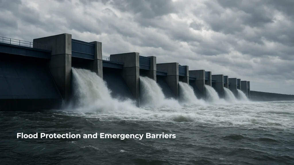
Flexible rubberized bladder systems that self-deploy with rising water levels, NoFlood barriers provide scalable flood protection for critical infrastructure, government buildings, and low-lying communities. CS Asia offers these as part of disaster risk reduction and urban resilience initiatives.

Through Selerys’ AI-enabled cloud seeding technology, CS Asia supports drought-prone and agricultural regions in enhancing rainfall and stabilizing water supplies. When paired with radar systems, this becomes a targeted and data-driven water security solution.
The Data Collection, Visualization, and Alerting Platform enables real-time monitoring of environmental conditions using field-deployed sensors and a centralized analytics dashboard. It collects telemetry data from rainfall, water level, and water quality instruments, then processes it through AI-driven time series analysis. Users can visualize data trends, map device status, and set automated thresholds for alerts. The platform is hardware-agnostic and expandable for multi-hazard applications, including dam safety, CCTV, seismology, weather radar, and early flood warning modules. Already in use by government agencies, it serves as a scalable backbone for early warning systems and resilient water management.